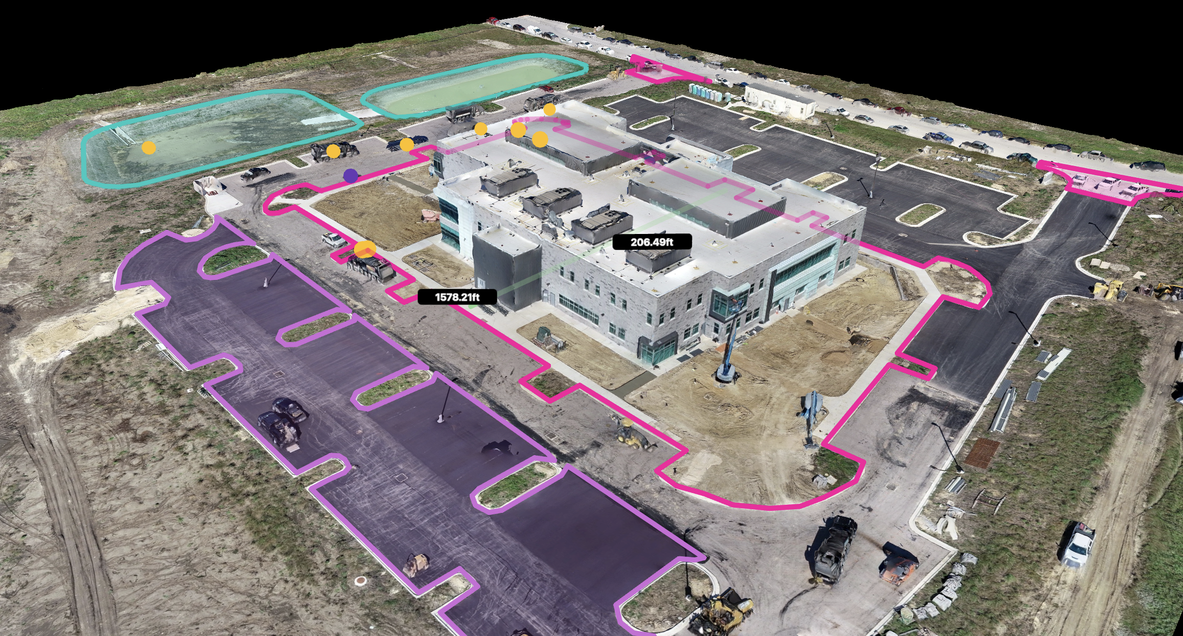
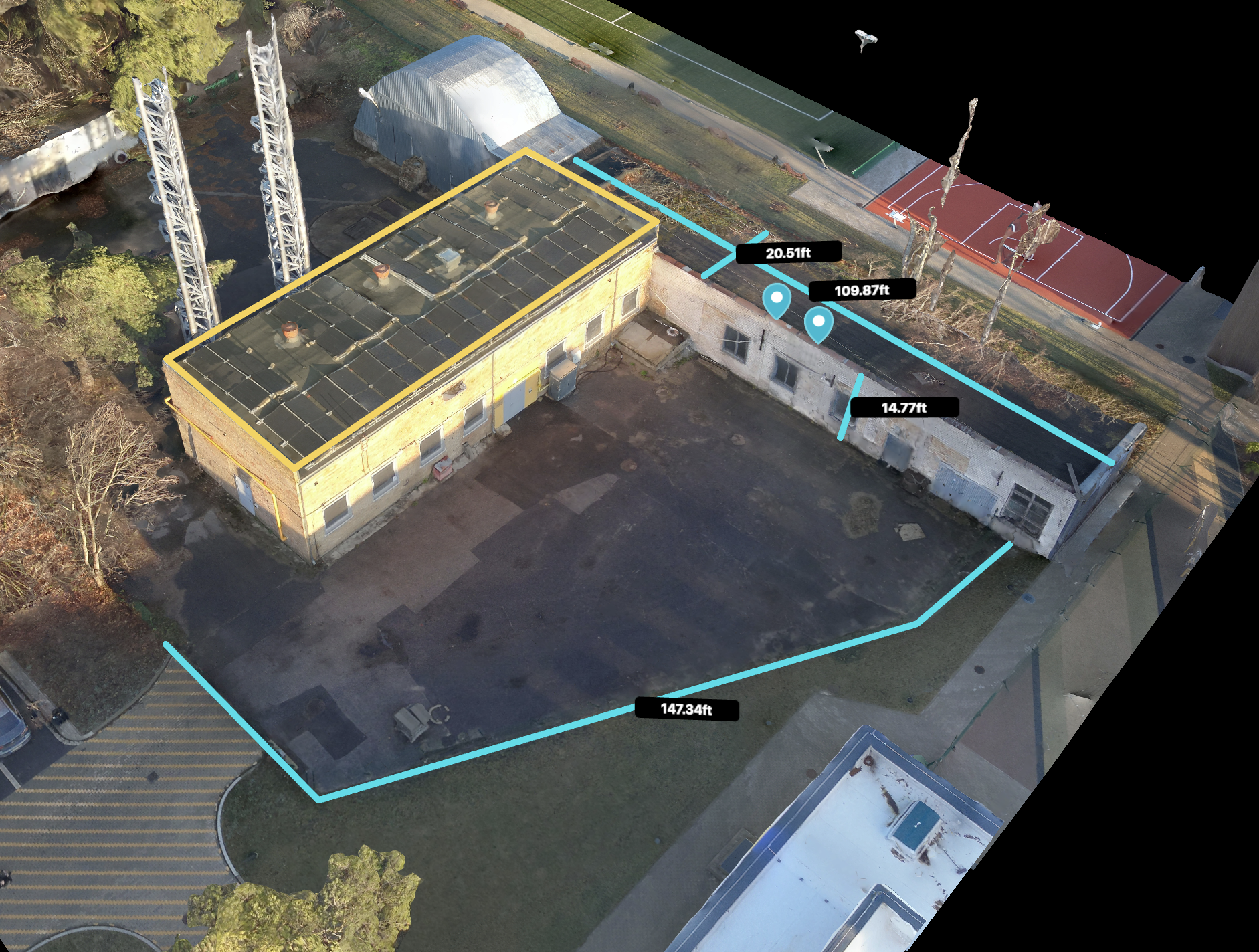
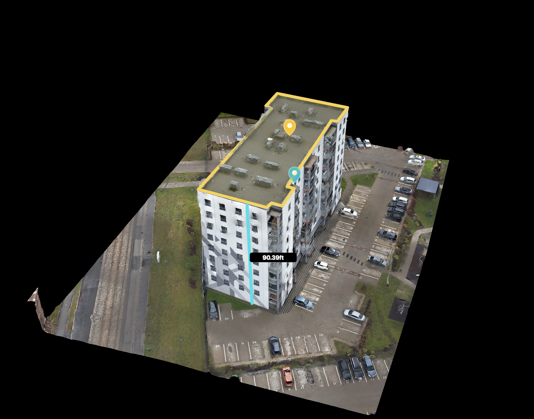
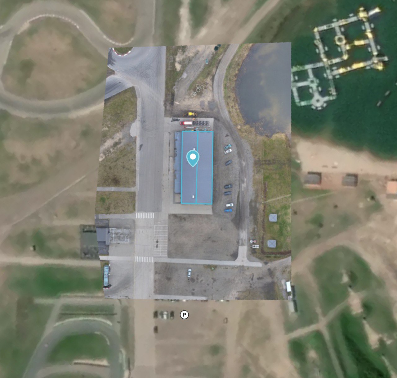
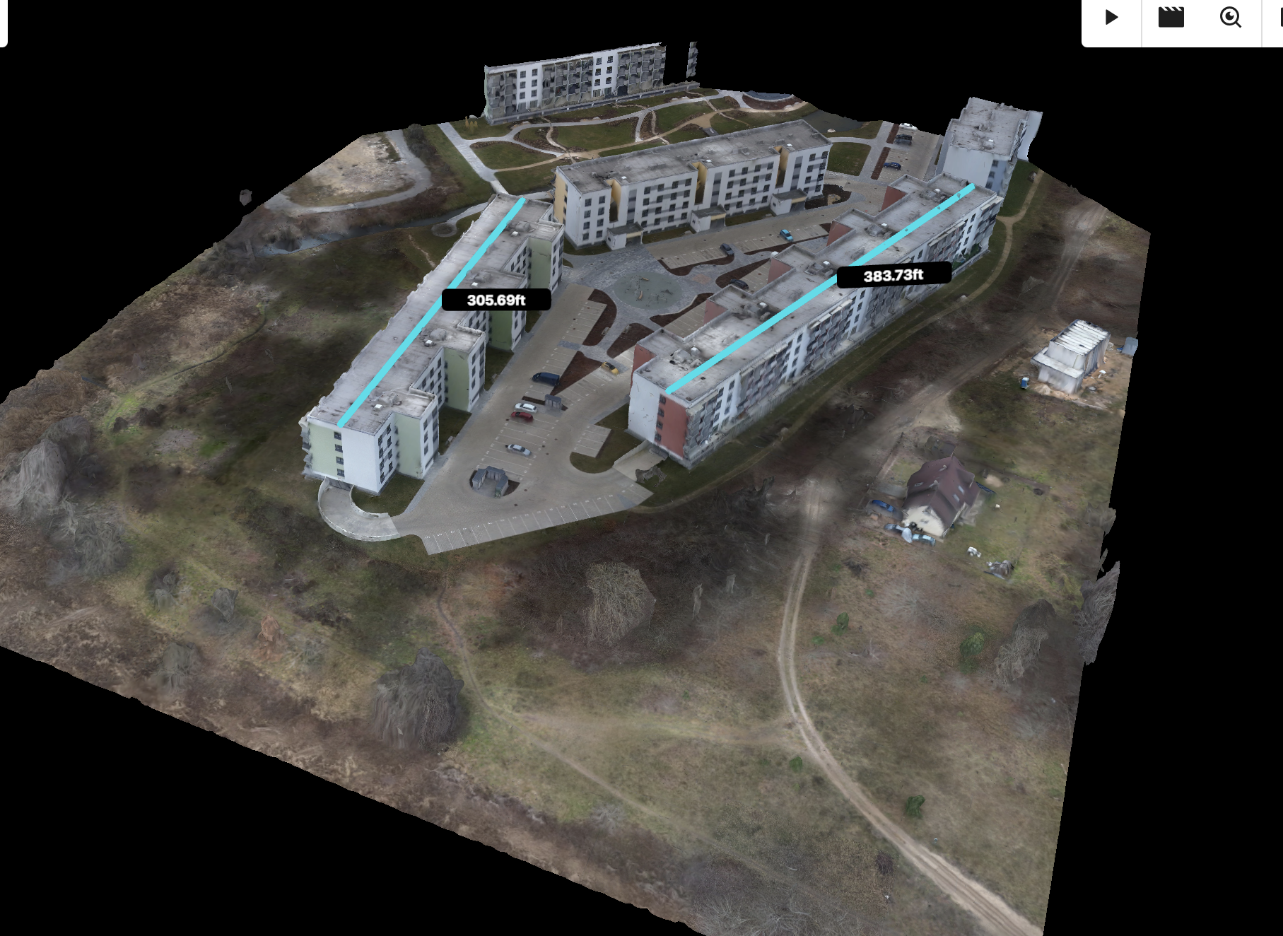
Mapping and 3D mapping surveys use advanced drone technology to capture high-resolution aerial imagery and create accurate, detailed maps or 3D models of landscapes, construction sites, or infrastructure. This technology enables professionals to efficiently survey large areas, monitor progress, and gather precise data for analysis and decision-making. With georeferenced outputs, it’s ideal for industries like construction, real estate, agriculture, and urban planning.
3D mapping surveys provide a comprehensive view of terrain and structures, reducing the need for time-intensive manual surveys. By leveraging drones equipped with LiDAR or photogrammetry, these surveys deliver precise measurements and topographical insights, ensuring high accuracy and repeatability for critical projects.
Contact Us